Sustainable Development Goal 15: Life on Land
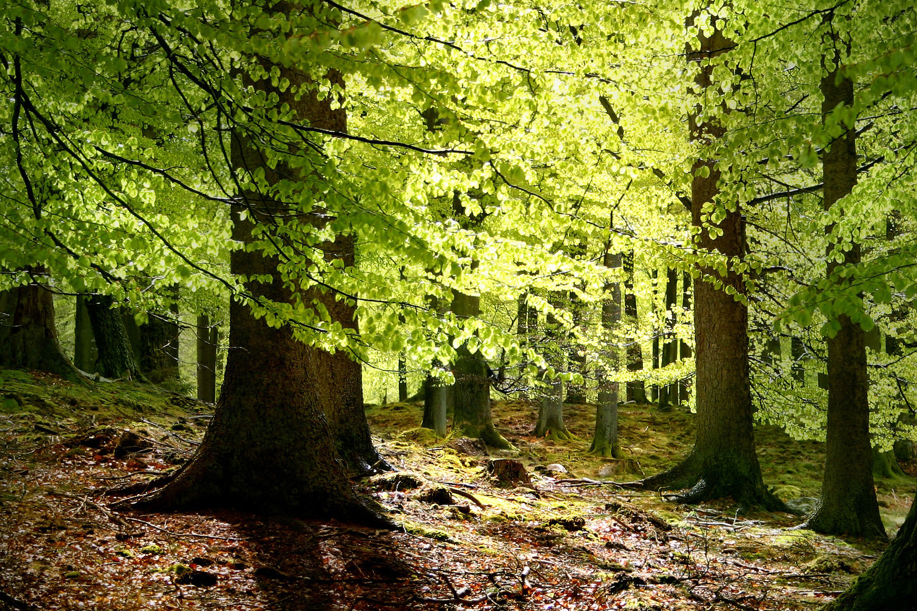
Sustainable Development Goal 15 seeks to protect, restore and promote sustainable use of terrestrial ecosystems, sustainably manage forests, combat desertification, and halt and reverse land degradation and halt biodiversity loss. Preserving diverse forms of life on land requires targeted efforts to protect, restore and promote the conservation and sustainable use of terrestrial and other ecosystems. Goal 15 focuses specifically on managing forests sustainably, restoring degraded lands and successfully combating desertification, reducing degraded natural habitats and ending biodiversity loss.
Space technologies can be utilised for:
- Bio-geophysical land surface monitoring
- Terrestrial biodiversity monitoring
- Monitoring of poaching and identification of smuggling routes
Quick Facts
-
Forests contain three-fourths of the Earth's plant biomass
-
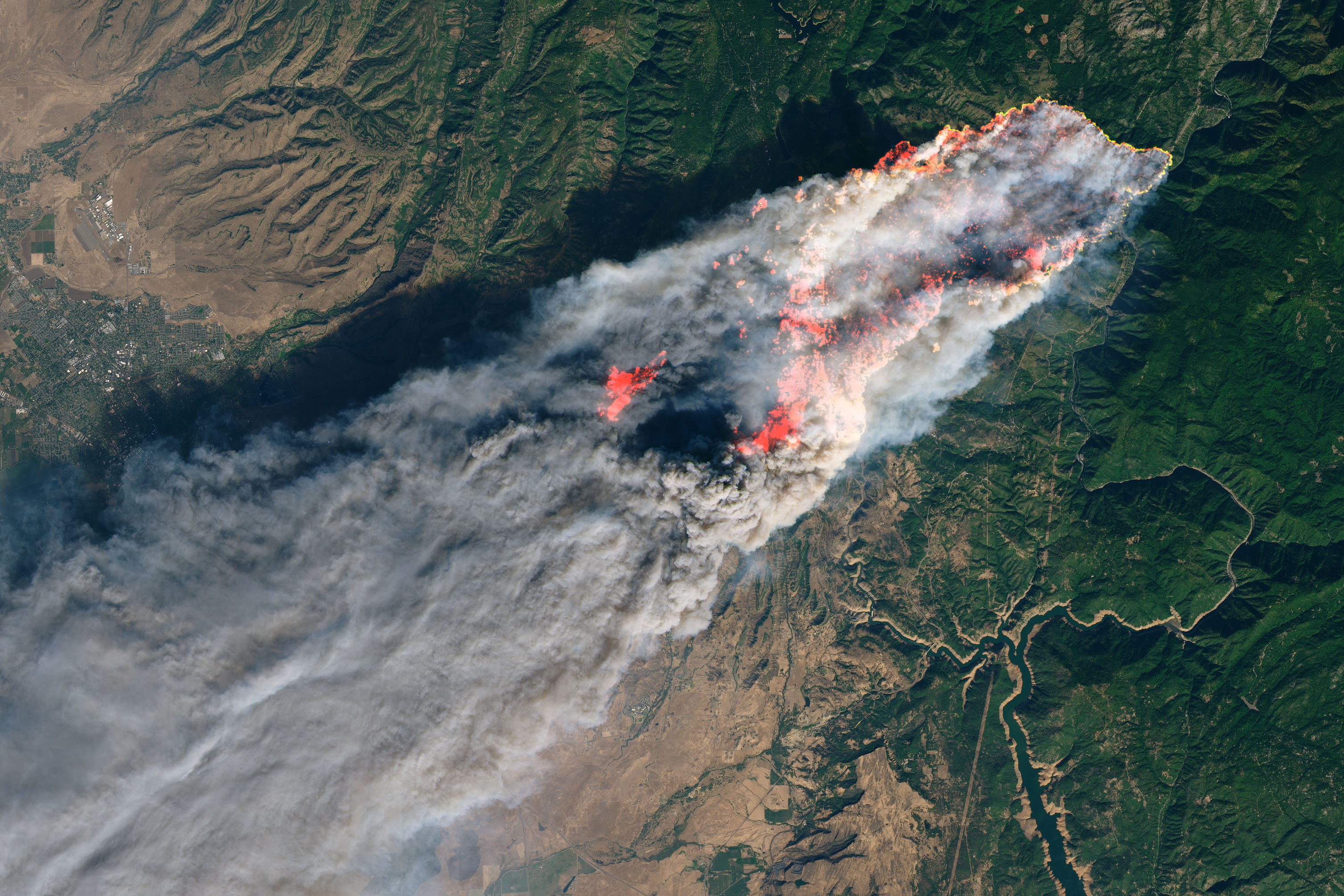
Thanks to satellites it has been possible to obtain measurements on the fires in Australia in early January 2015, where 125 km2 were burned.
-
Space can help monitoring forests and drylands to understand the effectiveness of the policies to combat desertification and deforestation. Thirteen million hectares of forests are being lost every year, while the persistent degradation of drylands has led to the desertification of 3.6 billion hectares.
-
Drought has caused a loss of 2.3 million sq km in the last three decades and causes annual losses of 9 billion USD per year.
Forest Fires
It is possible to derive from Earth observation satellites a series of bio and geophysical products on the status and evolution of the land surface on a global scale and a set of biophysical variables describing the state, the dynamism and the disturbances of terrestrial vegetation at mid and low spatial resolution. These products are used to monitor vegetation, the water cycle and energy budget.
Satellites can also provide the information necessary to obtain physical variables of the canopy like the leaf area index, the fraction of vegetation cover, and the fraction of radiation absorbed for photosynthesis, to respectively quantify the density, the extent and the health of the vegetation. In addition, the dry matter productivity features the growth of standing biomass for specific agronomic applications. Finally, maps of burned areas delineate the zones of the globe affected by fire events. GNSS is widely adopted for animal tracking. Understanding animal movement is vital for biodiversity research, predicting conservation hotspots, identifying human-animal conflict zones, rebuilding and sustaining productive fisheries and ecosystems and understanding the spread of pandemic disease and invasive species.
UNOOSA through the UN-SPIDER platform, through the knowledge portal, provides information on good practices and standards on how to obtain satellite data, process it and derive products for a wide range of uses, including forest fires.