Sustainable Development Goal 2: Zero Hunger
Sustainable Development Goal 2 aims to end hunger and all forms of malnutrition. It also commits to universal access to safe, nutritious and sufficient food throughout the year. This require sustainable food production systems and resilient agricultural practices, equal access to land, technology and markets, and international cooperation on investments in infrastructure and technology to boost agricultural productivity.
Space technologies are key to:
- Optimising crop productivity through informed management process and increased efficiency in the use of existing resources, including land, seeds, fertilisers, plant protection agents and water
- Improving livestock management through enhanced monitoring and identification of suitable grazing
Space for Agriculture and Food Security .
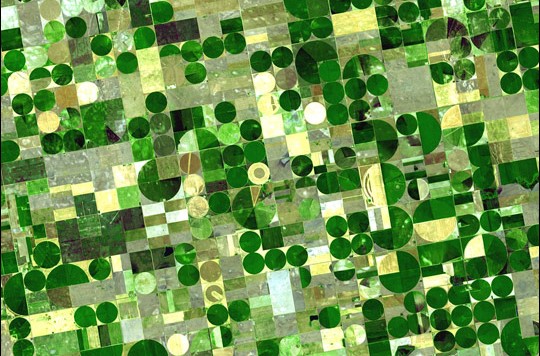
The Space-based technologies offer tools to help in a wide spectrum of agricultural activities, ranging from monitoring of crops, livestock and forestry, to fisheries and aquaculture. They are essential for supporting farmers, fisherfolk, foresters and policymakers in the decision-making process, by enabling timely and effective response to adverse weather conditions, droughts, floods, desertification and land degradation, vegetation fires and disasters triggered by natural phenomena. Among such technologies, remote sensing satellites provide key data for monitoring soil, snow cover, drought and crop development. Furthermore, rainfall assessments from satellites help farmers plan the timing and amount of irrigation necessary for their crops.
UNOOSA in partnership with FAO has published the report Leveraging space technology for agricultural development and food security (2025), which provides recommendations for upstream, midstream and downstream segments of space missions. The report of 2025 continues the work started with the Space for Agriculture Development and Food Security Report (2016) report, produced by the UN Inter-Agency Meeting on Outer Space Activities ( UN-Space ), led by UNOOSA, features how space-based technologies are used for supporting decision-making in the fields of agriculture and food security and for overcoming challenges posed to future prosperity, security and the well-being of all humankind.
UNOOSA and FAO in Sierra Leone
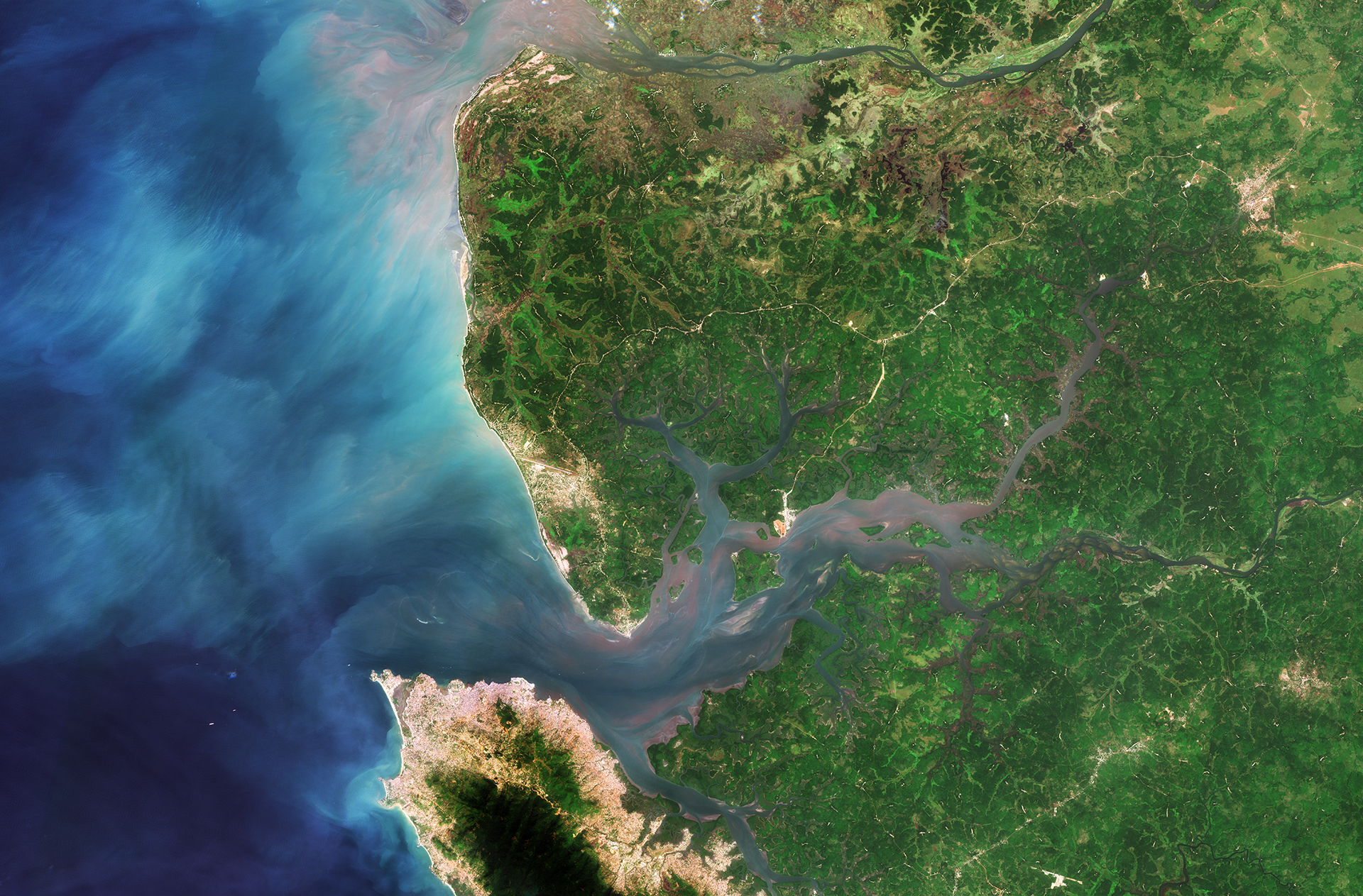
In 2017, heavy rainfall caused deadly flooding and mudslides in and around the capital of Sierra Leone, Freetown. The cascading aftereffects of the rainfall, peaking with the collapse of a hillside, resulted in hundreds of casualties. In response, UNOOSA, with the collaboration of the Food and Agriculture Organization of the United Nations (FAO), requested the provision of satellite imagery of the incident through the activation of the European Commission Copernicus Emergency Mapping Service and initiated the activation of the International Charter Space and Major Disaster. The maps that were created provided an invaluable tool for local organizations to plan their response, offering access to information like the type of landslide, the exact extend of mud flow, the number of buildings, roads and infrastructure affected, and the number of people that may have been impacted.