Exhibition Photos

Lake Mead, United States of America - This massive reservoir was established in the early 1930s by the construction of the Hoover Dam on the Colorado River. Drought and increased water demand in recent years has resulted in a decline in water levels, hitting record lows in 2014.
36° 09' N, 114° 34' W
Envisat (ASAR)
© ESA

Namib Desert, Southwest Africa - Sand dunes dominate the world's oldest desert - some reaching over 300 m in height. The blue and white area is the dry river bed of the Tsauchab - which only sees water following rare rainfall in the Naukluft Mountains to the east.
24° 43' S, 15° 27' E
Kompsat-2
© KARI/ESA

Petermann Glacier, Northwest Greenland - In August 2010, a calving event at the tip of this glacier gave birth to a massive iceberg. Measuring about 30 km long and 15 km wide at its foot and almost 7 km wide at its head, it was the largest Arctic iceberg to calve since the 1960s.
80° 57' N, 60° 51' W
Envisat (ASAR)
© ESA
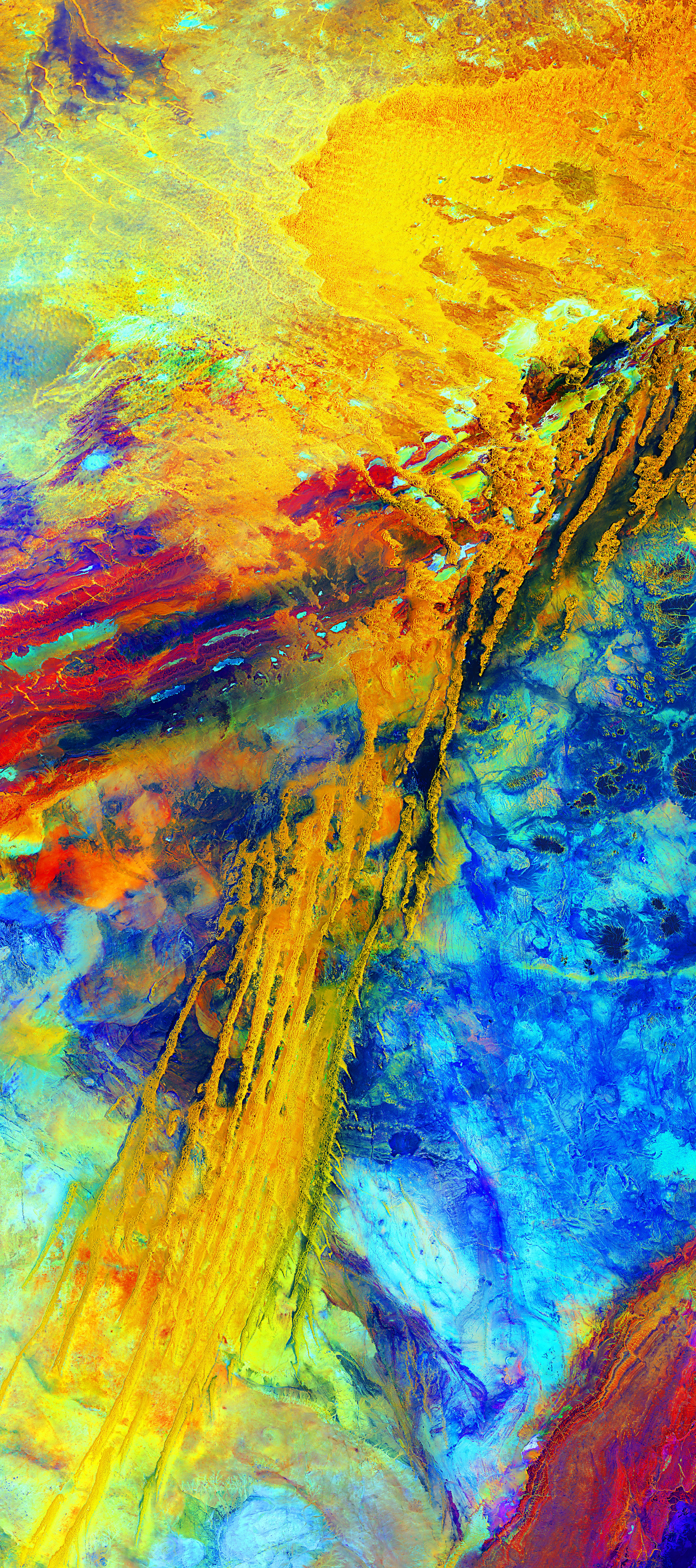
Erg Iguidi, West Sahara Desert - This area of wind-shaped sand dunes is relatively humid, with abundant groundwater towards its north-eastern edge. Patches of season vegetation support gazelle, and the area is even used for pastures.
26° 17' N, 6° 13' W
Landsat-8
© USGS/ESA
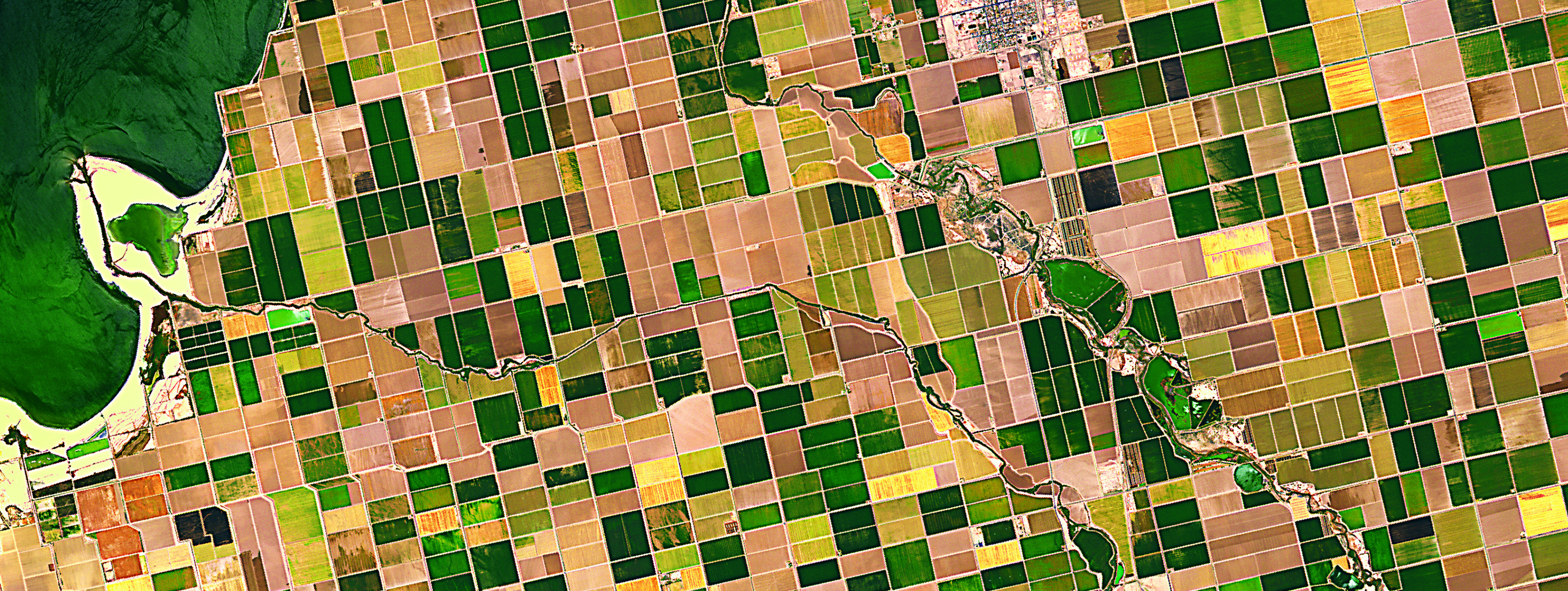
Imperial Valley, United States of America - Over 4000 km of canals and pipelines carry water to irrigate this vast expanse of agriculture in a desert region in Southern California. Leading crops include vegetables,
cotton, alfalfa and grain.
ALOS (AVNIR-2)
© JAXA/ESA

Planted patchwork, Kansas, United States of America - In this false-colour image, circles come from a central-pivot irrigation system, where a long water pipe rotates around a well at the centre. Rectangles are made when the pipes are rolled in straight lines across the fields.
Landsat-7
© USGS/ESA