Sustainable Development Goal 11: Sustainable Cities and Communities
Sustainable Development Goal 11 is focused on cities, as more than half of the world's population lives in them. Cities are hubs for ideas, commerce, culture, science, productivity, social development and much more; they have enabled people to advance socially and economically. However, many challenges exist to maintaining cities in a way that continues to create jobs and prosperity without straining land and resources.
Space technologies are utilised for:
- Urban planning, to pinpoint structures and reference points for cadastral and urban planning purposes
- Smart Cities, through the application of Global Navigation Satellite Systems, Earth Observation and Satellite Telecommunications
- Improvement of city services, such as smart waste management systems
- Air quality monitoring
- Disaster management
- Infrastructure monitoring
- Search and rescue operations
International Asteroid Warning Network and Space Mission Planning Advisory Group

Earth Observation and GNSS data support urban mapping and infrastructure monitoring to help plan and manage city services and structures. EO and GNSS-based services create smarter, sustainable cities by optimizing traffic management, reducing energy consumption, and improving urban mobility, and monitoring air pollution. To reduce the human and economic cost of disasters, space-based data enhances the full disaster management cycle by supporting an understanding of disaster risk, preparations to reduce risk, and measures to improve resilience, response and capacity to recover.
UNOOSA is the Secretariat to the International Asteroid Warning Network ( IAWN ), an association of institutions involved in detecting, tracking, and characterizing Near Earth Objects (NEOs), and to the Space Mission Planning Advisory Group (SMPAG), which initiates and executes space mission response activities for NEO deflection. UNOOSA aims to raise awareness of NEO risks, enhance capacity of developing nations to predict and mitigate potential NEO impacts, and support effective emergency response and disaster management during such an event. Through IAWN and SMPAG, UNOOSA helps protect human settlements from the potentially devastating impact of asteroids, and enhance resilience and planetary defence.
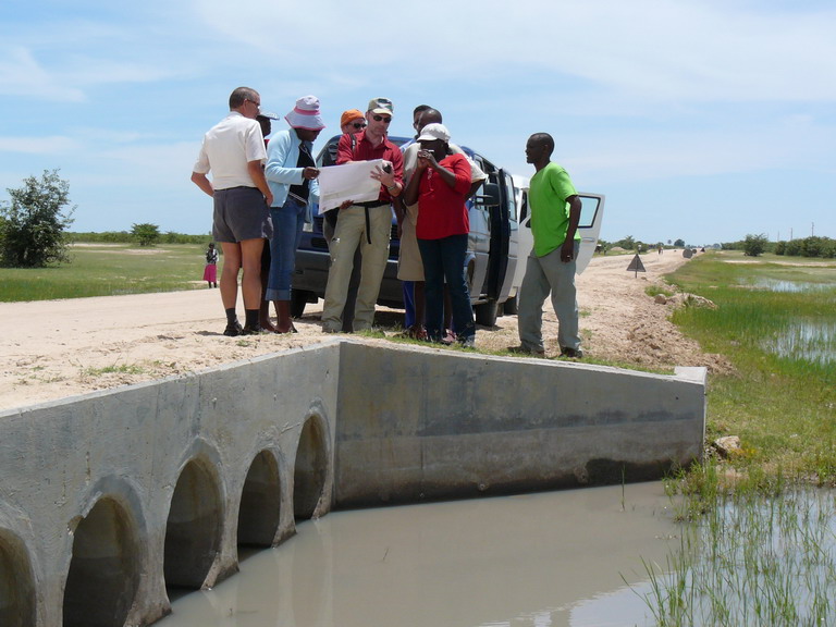
UN-SPIDER technical advisory missions
.
Satellite data helps to support, plan and monitor migration and mobility of people, either in the case of human migration between different areas of the world, or mobility within urban centres, and assist disaster planning and emergency response.
Through the United Nations Platform for Space-based Information for Disaster Management and Emergency Response (
UN-SPIDER ), UNOOSA conducts technical advisory missions to discuss the use of space-based information for risk and disaster management and make recommendations on improvements. This helps developing countries in particular to build sustainable and resilient infrastructure that can better tackle challenges related to environmental and other disasters and at the same time, making cities more sustainable.