Remote Sensing
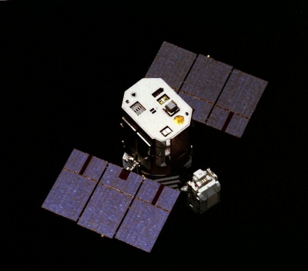
 Remote sensing is the science of gathering data about objects or areas from a distance. It is a tool frequently used to obtain details about the Earth's surface from space, as data is gathered by detecting and measuring electromagnetic waves emitted, reflected or diffracted by the sensed object.
Remotely sensed data is especially important for studies of the Earth that require periodic observations, such as inventories and surveys in agriculture, hydrography, geology, mineralogy and land use. Remotely sensed data is also highly valuable in that it can safely providing information about locations that are too difficult or dangerous to access directly.
In 1986 the United Nations General Assembly adopted a set of principles relating to remote sensing of the Earth from outer space as a way to strengthen international cooperation in the field of remote sensing. These principles state, amongst other things, that remote sensing activities shall be carried out for the benefit of all countries.
For more information, see:
Principles Relating to Remote Sensing of the Earth from Outer Space
UN-Spider Knowledge Portal: GIS and Remote Sensing Software
See below for recent documents relating to remote Sensing. For more documents, search the Documents Database.